Bahía de Banderas: Between Journey, Landscape, and Memory
A journey through chronicles, expeditions, and tales that reveal its natural and human richness.
Bahía de Banderas opens onto the Pacific coastline as a wide, deep expanse, contained between Punta Mita and Cabo Corrientes. With nearly fifty kilometers in length and depths exceeding a thousand meters, its presence is striking on the map, but it is better understood when explored. Its origin dates back to ancient geological processes. Movements of the Earth's crust, continental rifting, and the sea's encroachment inland. Since then, it has been shaped as a space where mountains, rivers, and ocean currents converge.
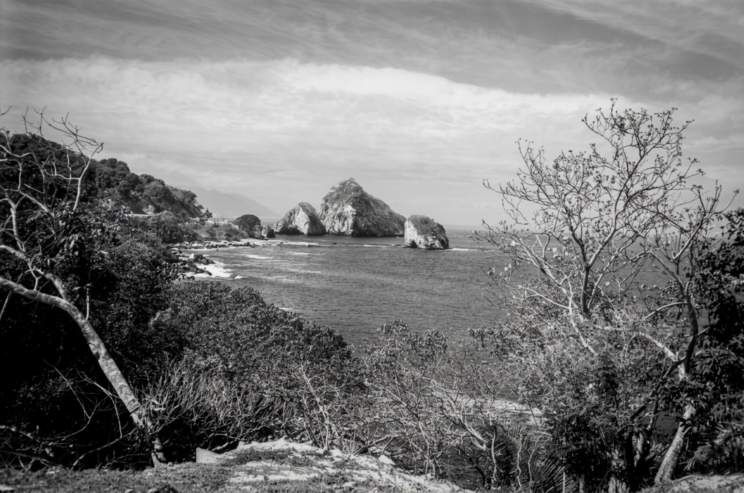
Arcos de Mismaloya
The surrounding mountain ranges capture moisture and feed rivers like the Ameca, which flows into its northern end, setting the region's rhythm. Since the 18th century, the bay was a point of arrival. Vessels anchored in its waters and sent launches to the beach. There, contact was made, seafaring men and land dwellers exchanging provisions, words, and signals. The coast functioned as a threshold, where the horizon became close and tangible. For 19th-century sailors, the bay acquired another rhythm. Admiral George Dewey described it as a broad, natural refuge. Coasts alternating between cliffs and beaches, islands emerging before the mouth. It was, above all, a place that could be read from the sea: distances, depths, anchoring points.
Partial view of the hunting lodge and bay
In those same waters, whalers knew it as Humpback Bay. Work and life coexisted there. Boats would set out at dawn in search of whales, while the daily routine unfolded on deck. Entire families lived on the ships, children played among ropes and barrels, and women recorded events in their diaries. The green, open coast offered fruit, water, and shade. In that environment, a child was even born.
“The bay stopped being just a transit point and also became a point of origin.”
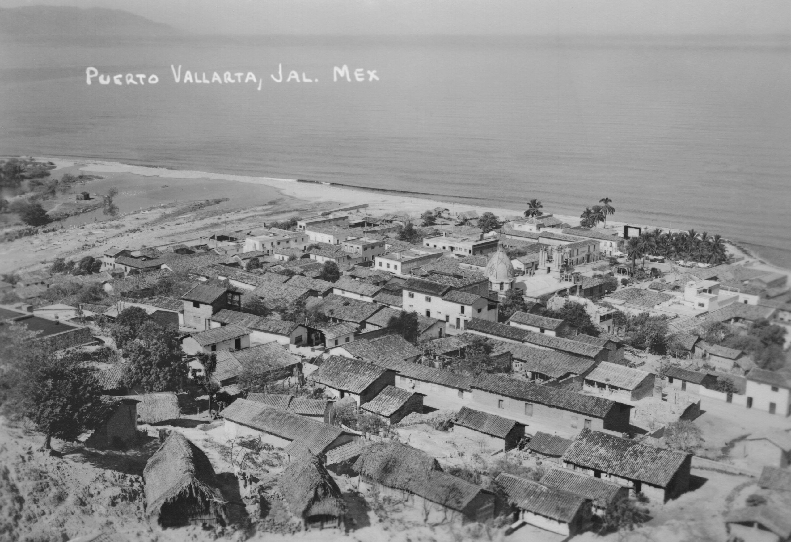
From land, access reveals another dimension. In 1897, American naturalists Edward William Nelson and Edward Alphonso Goldman descended through canyons and trails to reach the coastal plain. On their journey, they observed dense jungles, abundant birds, rivers, and vegetation that transformed as they neared the sea. And then, finally, the bay appears. This is how Luis Páez Brotchie recorded it on his journey from Guadalajara to Puerto Vallarta in 1930, as a revelation. After the mountains, the heat, and the fatigue, the horizon opens up, and the bay appears vast, silent, almost motionless. From above, it is ordered like a map; from the shore, it is felt in the body.
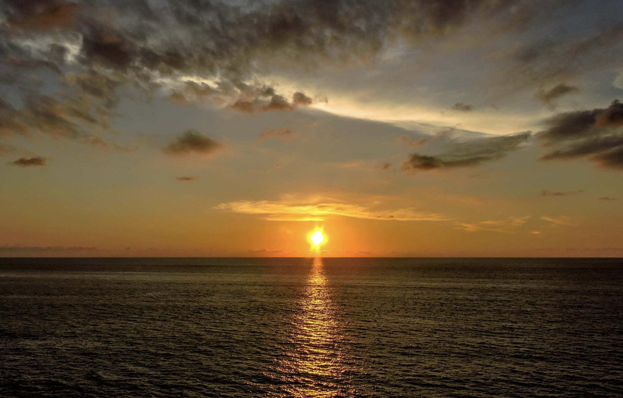
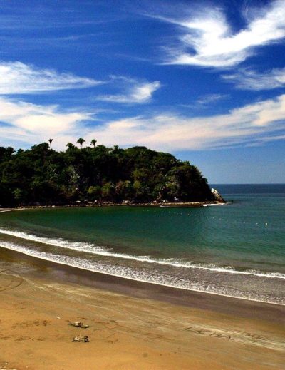
Sunset at Sayulita Beach
“The sea breaks on the beach, light reflects on the water, and time seems to stand still.
Bahía de Banderas is, in essence, a journey. Not just a place, but a sum of perspectives that inhabited it in different ways. In each story, the same feeling remains: that of being in front of a space that isn't exhausted by sight, but is discovered step by step.
Hist. Moisés Hernández López / City Chronicler
Office of the Chronicle and Memory of the City
Moises Hernandez
Historian and chronicler of Puerto Vallarta. Rescues the city's memory with documentary rigor, a critical eye, and visual sensitivity.